
Follow a Riverside Street Address
Begin a Riverside street search with the Riverside county property record. MCRealEstate can locate a Riverside parcel by address, owner, parcel ID, or an advanced criterion. Save the Riverside parcel ID, situs address, legal description, and municipality before moving on. The current owner shown on a Riverside assessment record is a land-record connection, not proof that every person at that address lives there. The Treasurer is a useful alternate route for a selected tax year, and its instructions say to use one field at a time.
- Enter the Riverside address in the Auditor search and save the returned Riverside parcel ID and legal description.
- Use the owner name and legal description to isolate the Riverside recorded deed in the Recorder's Information Search System, or RISS.
- Read the Riverside deed parties, instrument number, file date, and prior reference, then repeat the recorded transfer as needed.
- When a named Riverside person needs confirmation, use the Ohio voter lookup with first name, last name, and Montgomery County. It is a named-elector tool, not a street browse.
- For an older Riverside listed household, consult a dated criss-cross directory at the Dayton Room and then the same year's alphabetical volume.
That Riverside sequence keeps the evidence in order: Riverside address to parcel, parcel to recorded owner, owner to deed, named elector confirmation, and then a dated directory listing. The Montgomery Board of Elections precinct tool can also identify a Riverside street segment's civic geography, but it does not publish everyone registered on the segment.
Riverside records also have different custodians. The Riverside city layer can answer a permit, code, zoning, or address-assignment question; Montgomery County keeps parcel, tax, map, and recorded-land systems; the Dayton Room supplies historical directory context. Start each Riverside request with the parcel ID, address, record category, and an approximate time period. That narrow description helps staff distinguish the right Riverside record from a same-name or same-street result.
Riverside Parcel Search Fields
The Riverside county Auditor's read-only property portal has separate Address, Owner, Parcel, and Advanced modes. For a Riverside address search, the street number is optional and the street-name field is paired with it. The Treasurer gives a helpful local formatting rule: omit the direction and suffix from the street-name entry. The Auditor's Tax Year menu displayed individual years from 1980 through 2027 and an Any option when inspected. That menu is a query choice, not a promise that every historic detail exists for every Riverside parcel.
| MCRealEstate field | Input | How it helps by address |
|---|---|---|
| Street Number | Optional text | Narrows a street result to one address. |
| Street Name | Text | Finds the street; use the Treasurer's no-direction, no-suffix convention there. |
| Owner Name | Text | Connects a known recorded owner to a parcel result. |
| Parcel ID | Text | Provides the strongest county join for later searches. |
| Tax Year | Dropdown | Sets the assessment or tax-year context for a query. |
| Advanced criterion | Selector with values or dates | Offers fields such as parcel ID, street, tax year, sale date, and price. |
The MCRealEstate owner-search screen is the first image source for this workflow.
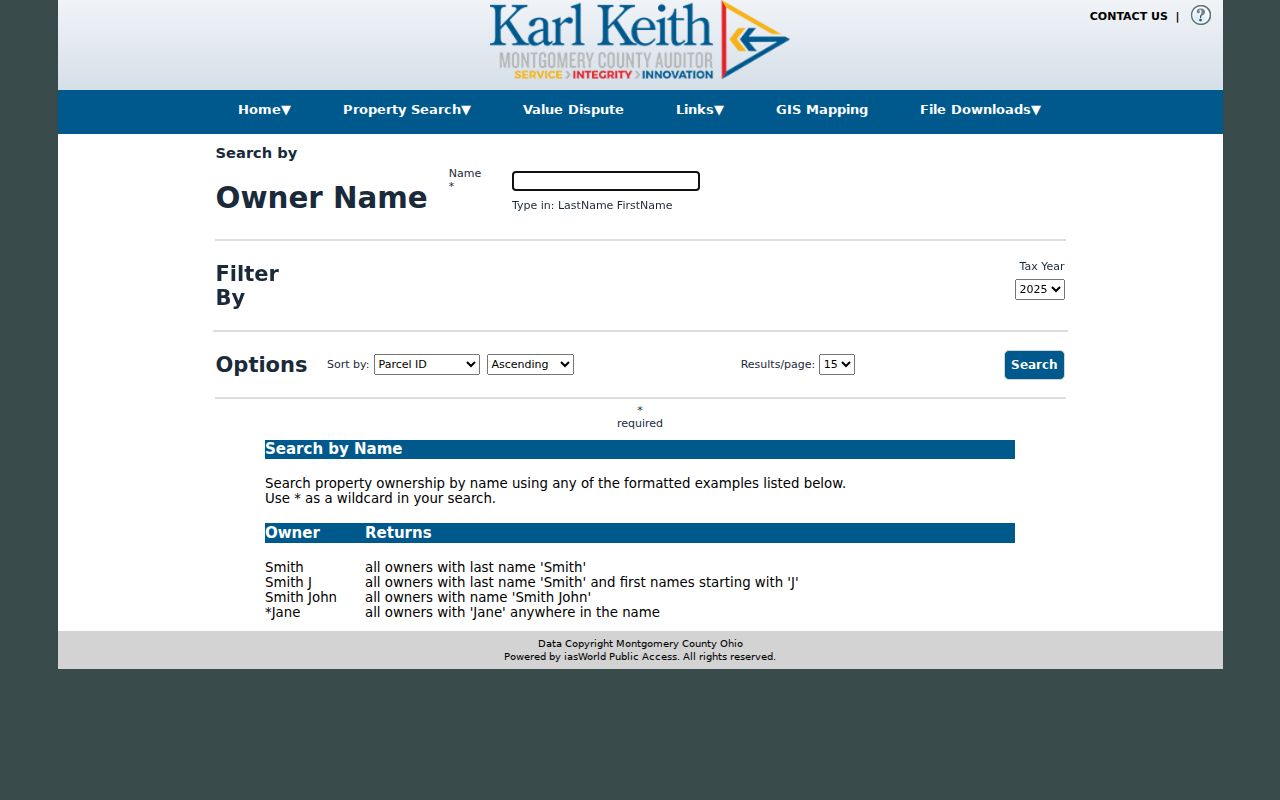
Use a returned owner only as a lead back to the parcel and deed. The property portal was displaying a maintenance notice during research, so the Auditor counter and phone path remain important when a live result cannot be opened.
Riverside Streets and Parcel IDs
A Riverside parcel ID is the stable handoff between a Riverside address search and the county's other property tools. Montgomery County parcel numbers begin with a capital letter; the Treasurer gives A01 00107 0001 as a format example. A Riverside street number can change, an address can be written with a different postal locality, and a map label can be abbreviated. The parcel ID and legal description give a cleaner way to verify that each later record concerns the same land.
The official parcel-ID search illustrates the direct county route.
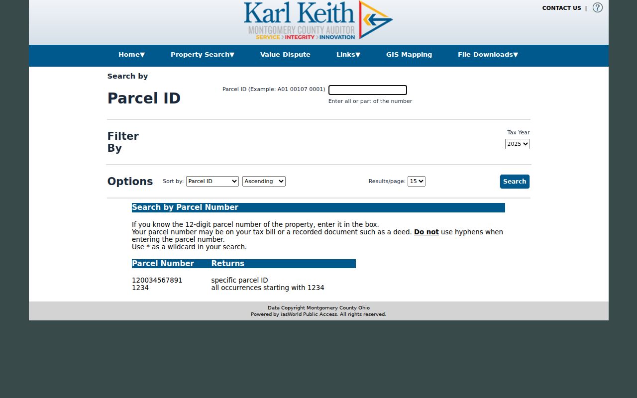
Once the Riverside parcel is identified, compare the situs, municipality, and legal description with the Riverside deed reference. A mailing address, when shown, is correspondence information and may not identify who is at the physical parcel.
- Parcel
- A county-defined piece of land identified for assessment and mapping.
- Situs address
- The physical address of the parcel, distinct from the address used for tax correspondence.
- Plat
- A recorded map that can show a subdivision, lot layout, or street relationship.
- Criss-cross directory
- A reverse directory arranged by address so a printed year can point to a listed name.
Riverside Street Directory Records
No one Riverside street directory record answers every question. The Riverside county property stack separates parcel and tax context, mapped geography, recorded documents, and historical indexes. Riverside city permit and code records add dated project activity. A useful Riverside result identifies which layer supplied the fact instead of blending a recorded owner, a tax mailing field, and a directory listing into one claim.
| Address-keyed source | Keeper | What the source can show | Access path |
|---|---|---|---|
| Real-estate card | Montgomery County Auditor | Parcel ID, owner, situs, legal and assessment context | MCRealEstate or Auditor counter |
| Tax search | Montgomery County Treasurer | Selected-year parcel, owner, and tax information | Online search or Treasurer counter |
| Parcel map | County GIS | Parcel geometry, Tax PIN, municipality, state, and ZIP attributes | Interactive map or REST parcel layer |
| Deed index | Montgomery County Recorder | Parties, document type, file date, and instrument number | RISS, copy center, Recorder, or archive |
| Tract index and plats | Records Center and Archives | Legal-description and lot or subdivision continuity | Archive books, microfilm, or research request |
| Permit or code case | Riverside and County Building Regulations | Project or case metadata and dated activity | iWorQ, city request, or county route |
The county GIS parcel layer supports queries and geometry, while the interactive viewer adds Address, Street 1, Street 2, intersection, and map-click controls. Use it to orient a Riverside street segment, then confirm a selected parcel in the Auditor and Recorder systems. A map boundary is not a title record or a household list.
Map a Riverside Street Segment
County GIS is most useful after the Riverside street is already known. Enter a Riverside address, choose Street 1 to display a road, or use Street 1 and Street 2 for an intersection. Single-clicking changes the map position and double-clicking selects a feature. Its Spatial Select tool can use a buffer in feet or miles with point, line, polygon, or rectangle geometry. Keep the selected Riverside area small and carry each Tax PIN to the Auditor rather than treating a map label as final evidence.
The MCRealEstate advanced-search view shows the county's broader field approach alongside the map workflow.
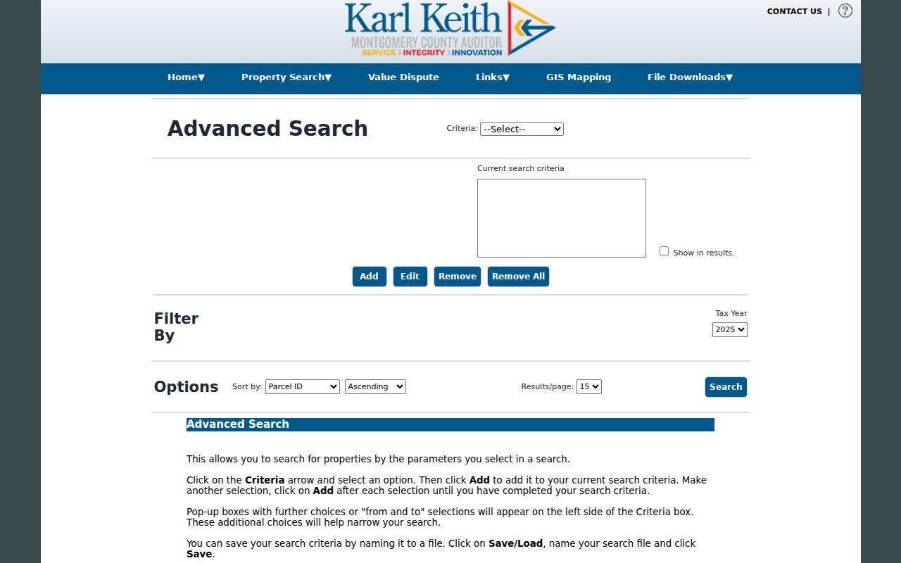
Advanced search adds criteria such as acres, land-use code, stories, neighborhood, bathrooms, square footage, sale date, and price. Those fields can refine property research, but they should not be used to infer who is currently at an address.
Riverside Deed Trail by Address
The Montgomery County Recorder’s Riverside RISS search is free to guests after its legal disclaimer. Its useful alternatives for a Riverside address trail include Name, Type, Municipality, Subdivision, STR, Instrument, Book/Page, Fiche, and Pre 1980. Start with a verified parcel owner and restrict the name search to Deeds plus a plausible date range. The result context can supply party names, side, document type, filing date, and instrument or file number. Then read the document and preserve the legal description and prior reference.
RISS is not an every-person-at-an-address system. When an older instrument does not carry a clean street address, use the legal description and switch to an instrument, book/page, municipality, subdivision, or pre-1980 search. The Recorder documents electronic deed availability for 1980 to the present, while historic books and microfilm extend back to 1805. Certified copies are available from the Recorder copy center at $2 per page plus $1 certification; that fee does not apply to a free RISS query.
Riverside Permit and Code Layer
Riverside's iWorQ portals give an address a separate civic timeline. The permit search has Permit #, Permit Type, Parcel #, Parcel Address, and Permit Status choices, with conditional date controls. Public result headers include Permit #, Date, Permit Type, Expiration Date, Status, and View. The code-case search offers Case #, Parcel #, and Parcel Address, and returns Case #, Date, Parcel Address, Status, Description, and View. Some details can require an access code.
The Riverside code-case search is the source of this portal capture.
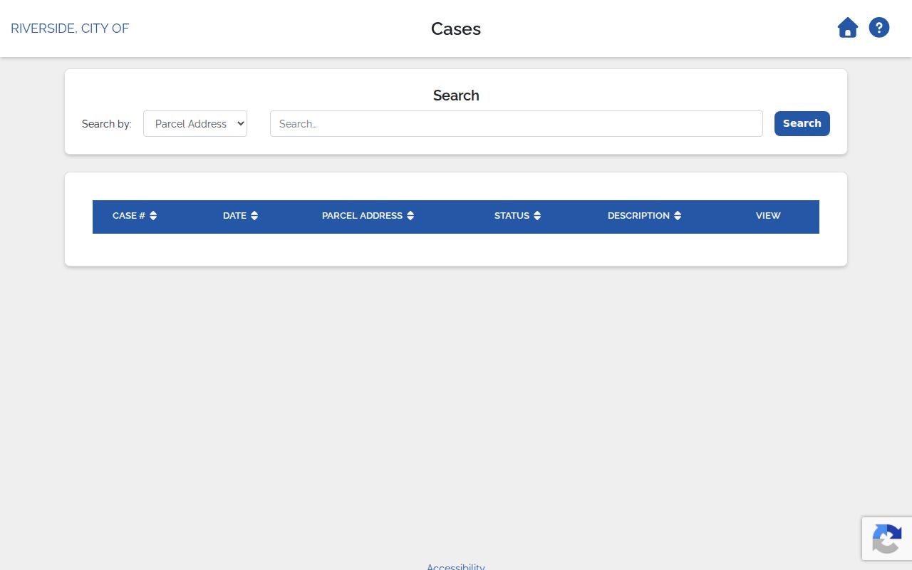
Permit and code metadata can date a project or case. Riverside says building inspections are handled by Montgomery County Building Regulations, so a fuller file may require a specific city or county public-records request naming the address, record type, and approximate period.
Riverside Addresses Across Names
Records geography matters along a Riverside street. The current city was established in 1995 after the 1994 Mad River Township and Village of Riverside merger. A historical parcel, directory, tax record, or map can therefore be indexed under Mad River Township, Village of Riverside, a road name, or Dayton suburban coverage. Equal street numbers alone do not prove that two old records describe the same parcel.
Woodman Drive is a useful local example because its corridor runs from US 35 to the city limit north of Springfield Street and crosses city, county, postal, and Wright-Patterson-adjacent contexts. For a disagreement over address assignment, plat, lot split, or street label, Riverside planning and zoning is the official local contact. The safer historic bridge is the legal description, tract index, plats, and maps. No official Riverside-wide renumbering chronology was located.
Riverside Street Directory Past Listings
For a former listed household, use the Dayton Metro Library's regional directory collection rather than assume a long Riverside-only run. Preservation Dayton reports Dayton directories from 1850 to current and address data beginning in 1914. The Haines Dayton City & Suburban Criss-cross Directory is cataloged for in-library use. Check each volume's title page because Dayton, Suburban, North, South, and other coverage labels can change whether a Riverside-area address is included.
Start on the street page in the nearest available criss-cross volume, note adjacent addresses and the page heading, and then use that year's alphabetical directory to preserve the printed name and any abbreviations. A directory entry is a publisher-compiled connection for its publication period, not ownership proof or a complete household count. The fuller regional shelf is described in the Riverside Directory Book.
Riverside Street Search Limits
A parcel owner, permit applicant, tax mailing field, ZIP, or directory listing does not identify every person at a Riverside address. Utility and delivery records are not public address tools. Motor-vehicle addresses are restricted. Voter records have statutory exclusions, including Safe at Home and certain protected addresses. An absent result can be a privacy protection, a coverage gap, or a record held offline, not proof that more searching is appropriate.
For a specific older document, take the parcel ID, legal description, instrument number, or book/page reference to the Recorder or Records Center and Archives. The archive accepts focused inquiries and holds deed indexes, tract material, plats, tax records, and other county series that predate normal web access.