
Riverside Previous Residents by Era
Past residents of a Riverside address are documented through Riverside sources with different dates and purposes. Begin with the current Riverside parcel ID because it connects the property record, legal description, and Recorder work. Move from the newest Riverside source toward older material only after preserving the current address and land description. The county's sources make a clear split between modern online property searching, recorded deeds, archive books and microfilm, and library household sources.
| Source | Years or period | Where held | What it can show |
|---|---|---|---|
| Riverside Auditor property search | Tax-year menu displayed 1980-2027 | MCRealEstate and Auditor counter | Modern parcel, situs, owner, and legal-description bridge |
| Riverside Recorder deed chain | Index types 1805-present | RISS, Recorder, copy center, or archive | Recorded grantor, grantee, instrument, and title sequence |
| Riverside tract index route | 1805-1986 | Records Center and Archives microfilm | Legal parcel continuity when a street label changes |
| Riverside tax duplicates | Indexes 1803-1954; original books in listed series | Records Center and Archives | Annual owner and assessed-value context |
| Riverside directories and criss-cross volumes | Dayton directories 1850-current; address data from 1914 | Dayton Metro Library | Dated compiled name and address connections |
| Federal census | 1950 is the latest released census | National Archives and library genealogy tools | Household snapshot on the census date |
The Riverside source to start with depends on the time period. A recent Riverside property question starts in MCRealEstate and RISS. A much older Riverside address often needs the tract index, a deed book reference, and an archive visit. A name on the property trail is not automatically a person who lived there, which is why the directory and census layers matter.
Start With a Riverside Parcel ID
The Riverside Auditor offers Address, Owner, Parcel, and Advanced searches. Save the returned Riverside parcel ID, situs address, municipality, and legal description before trying to follow previous residents. The legal description can use a lot and block, a subdivision, section-township-range, or a tract or abstract. It is the stronger historic identifier because Riverside city names, street numbering, and postal labels do not always remain stable across decades.
Montgomery County's home-property guidance tells Riverside researchers to begin in MCRealEstate, obtain the legal description, work the Recorder alphabetical or tract index, retrieve deeds, and examine tax-duplicate value changes. The county home and property research page is the source for this local sequence.
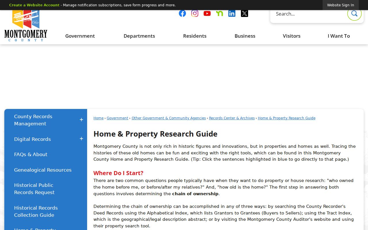
This Riverside sequence avoids a false match caused by an old street number. If a present Riverside parcel result is unavailable online, the Auditor's counter and phone route can supply the first, current record anchor.
Riverside Deed Chain Step by Step
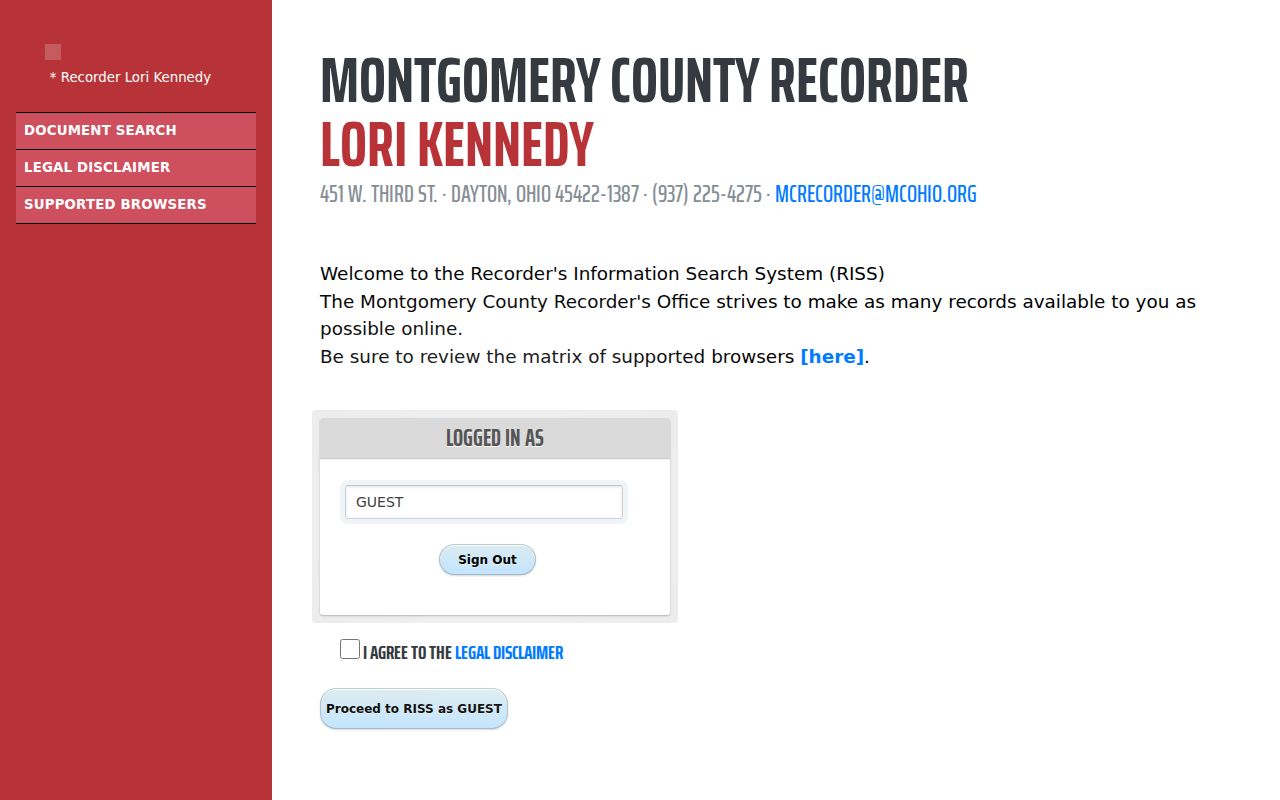
The Montgomery County Recorder’s Riverside Information Search System, RISS, is free to guests after its legal disclaimer. Search the current Riverside owner or firm name, limit the index type to Deeds, and use a reasonable date range. The search interface supports last and first name match choices, party side, index type, date range, and sort order. It also has separate Municipality, Subdivision, STR, Instrument, Book/Page, Fiche, and Pre 1980 paths. A recorded document is indexed through parties and land descriptors, not as a complete Riverside address roster.
- Use the current Riverside parcel record to preserve the owner and legal description.
- Find the Riverside owner's acquisition deed in RISS and note the instrument number, file date, document type, and party roles.
- Read the Riverside deed for the seller, buyer, legal description, and prior-reference information.
- Search the prior Riverside owner as a grantee to find that earlier acquisition, then repeat the same documentation step.
- When the Riverside trail reaches an older book or unclear address, take the legal description, instrument, or book/page reference to the Recorder or archive.
The RISS name-search screen shows the official entry point for a recorded-party search.
Label every result by its source. “Recorded owner,” “directory-listed person,” “tax mailing field,” and “census household” are different facts. This prevents a house history from turning a dated land transfer into an unsupported statement about past residents.
- Grantor and grantee
- The grantor transfers an interest in a deed; the grantee receives it.
- Chain of title
- The ordered sequence of recorded transfers that links one owner to an earlier owner.
- Legal description
- The land description in the deed or plat that identifies the parcel beyond a street address.
- Tract index
- An index organized around land description, useful when a name or address does not search cleanly.
Riverside RISS Before 1980
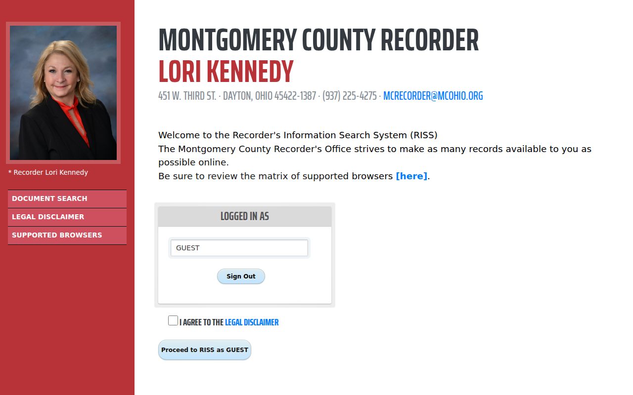
Riverside RISS has an explicit Pre 1980 mode, but the Recorder's online-image statement matters: electronically obtained deeds are documented for 1980 to the present. Historic books and microfilm extend to 1805. At the Riverside online-image boundary, do not conclude the chain has ended. Use the legal description, instrument, book/page, or tract reference at the Recorder and Records Center and Archives instead.
The RISS Pre 1980 search is the source for the next capture.
The older route is practical rather than speculative. The Recorder and archive hold books and microfilm, and the archive's detailed guide lists a deed name index for 1805-1928, tract/legal-description abstracts for 1805-1986, and historic deed records in its listed series.
Riverside Legal Descriptions Hold
Riverside legal-description research solves the changing-address problem. The County Records Center's guide identifies deed, tract, plat, mortgage, tax, probate, and naturalization series. Its general archive summary lists deeds through 1933, while the detailed guide lists deeds recorded through 1971. Those are descriptions of specific Riverside archive series, not a single universal cutoff. Bring the land description and ask staff which series contains the needed book.
The Historical Records Collection Guide shows the archive route for pre-web address work.
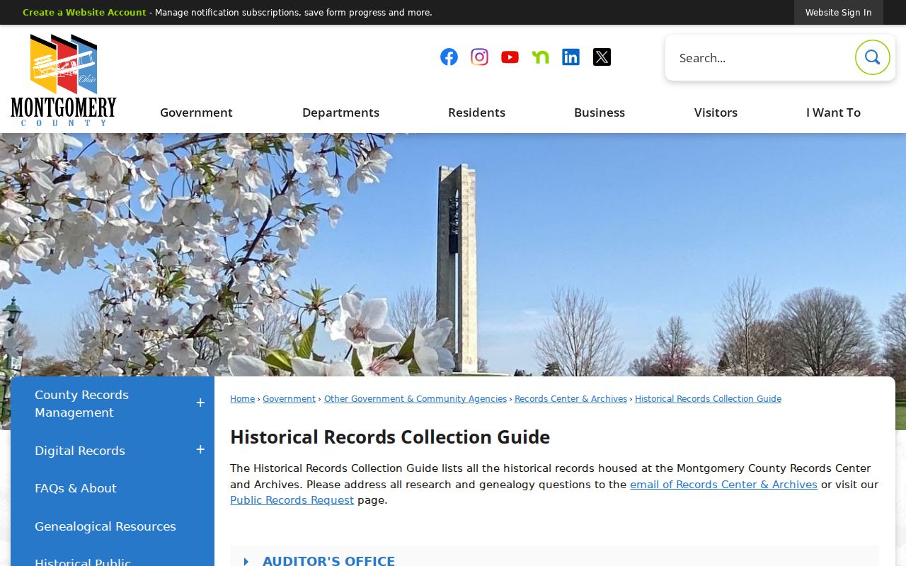
The Records Center and Archives accepts specific research inquiries when enough information is supplied. Its location and staff access are a documented fallback when a RISS search, a scanned image, or a modern street address does not produce a usable result.
Riverside Tax Duplicates Date Change
Riverside tax duplicates can add a physical-history date to a property trail. The county's old-building guidance identifies alphabetical tax indexes from 1803-1954, original books for 1820-1896 with limited use, and original books for 1955-1985. A value increase of more than 50 percent in a year can be evidence of construction or an improvement. It is a Riverside lead, not a final building date, because historic assessment percentages can change.
Use this layer after the parcel, legal description, and transfer chain are in order. A rise in value can help choose a permit, map, deed, or directory period to examine next. It cannot by itself identify previous residents or explain why a household changed.
Riverside Directory and Census Pairing
For Riverside household evidence, put dated directory volumes beside the census rather than treating either as a complete timeline. Dayton Metro Library holds regional directories from 1850 to current according to Preservation Dayton, with address data beginning in 1914. In a Haines criss-cross volume, first find the Riverside address page and preserve the street header and nearby lines. Then cross to the same year's alphabetical directory and record the printed spelling, residence, and abbreviations. Check the title page because regional coverage can vary by volume.
- Choose the directory year nearest the land-record event and check the address in a criss-cross or reverse volume.
- Copy the title page, year, geographic label, address page, and adjacent entries before drawing any conclusion.
- Check the alphabetical directory for the same printed name and preserve its abbreviation key.
- Pair that directory period with the appropriate released federal census, remembering that the census is a one-day household snapshot.
- Use a later directory, obituary citation, or probate record to test a move, death, or estate transition.
The National Archives census research page is the image source for this federal layer.
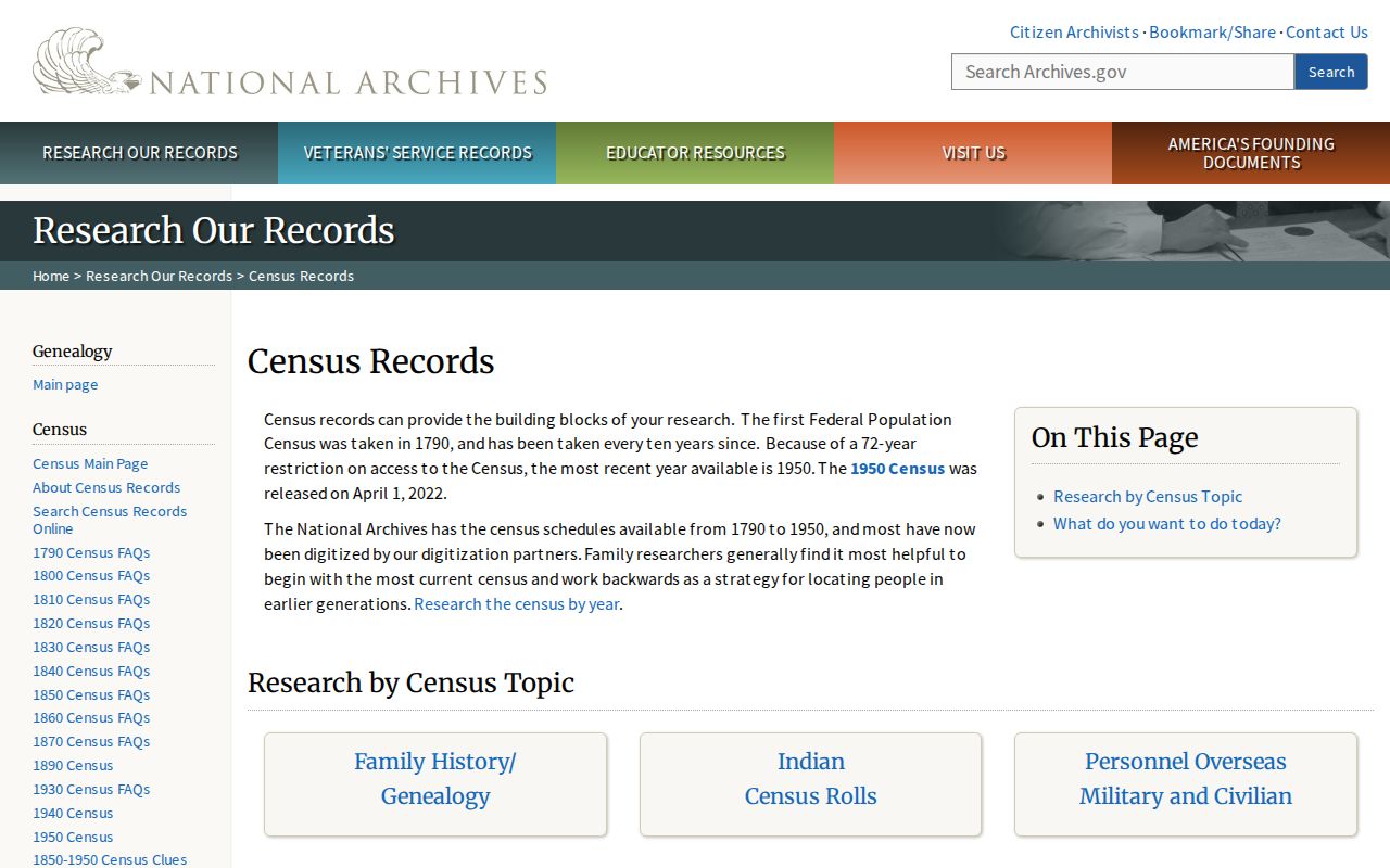
The 1950 census is the latest released federal census under the 72-year rule noted in the research. The Dayton Room also offers local-history databases, maps, microfilm scanners, consultations, and other alternatives for household research. The collection details are available in the Riverside Directory Book.
Riverside Names Before the City
A historical address can be associated with the modern city while being indexed under another local name. Riverside became a city in 1995 after the 1994 Mad River Township and Village of Riverside merger. Search Mad River Township, Village of Riverside, road names, and legal descriptions as well as Riverside. This is particularly important when a directory title uses Dayton suburban coverage or a map uses an earlier municipal label.
East Gardendale adds a local land-history clue. A 2023 Planning Commission record describes it as founded in 1922 with an interurban rail-line buffer between Smithville and Northcliff, and notes that traces remain in property lines. Where the street number is uncertain, a plat, tract index, map, or Sanborn resource can be a more reliable bridge than the number alone.
The Riverside place-name change does not erase the older record. A Riverside deed may use a legal description that also appears in a Mad River Township tax book or an earlier regional directory. Preserve the form each source used, then connect it through the parcel or tract reference. This Riverside approach is more reliable than modernizing every historical citation.
Riverside Previous Residents Limits
Riverside house history is strongest when it states what each record establishes. A deed identifies recorded parties to a transfer. A directory gives a publisher-compiled Riverside address connection for a particular volume. A census shows a household on one census date. HOBITS, the Dayton Obituary and Genealogy Database, is a citation index rather than obituary full text. The Dayton Room asks for the complete citation and accepts no more than three obituary or death-notice copy requests at a time.
Some information is deliberately unavailable. Utility and delivery data are not public address sources. Motor-vehicle records are restricted, and Safe at Home, protected voter, sealed court, adoption, and other confidential records must remain protected. If a former household does not appear, preserve the gap rather than try to rebuild a protected record from unrelated sources.