
Riverside Neighbor Sources
Riverside neighbors are best approached through records that identify the immediate block, then through a second source that confirms what the first source can actually show. The County GIS viewer establishes parcel adjacency and street geography. Auditor, Treasurer, and Recorder records can then be checked one parcel at a time. Riverside election and permit sources add civic or project context. None of these Riverside sources should be read as a complete list of every person at a home.
| Riverside source | What it shows about a block | Access and limit |
|---|---|---|
| Montgomery County GIS | Parcels, streets, intersections, spatial adjacency, and Tax PIN context | Interactive viewer; map geometry is not an occupant list. |
| Auditor and Treasurer | Parcel-by-parcel owner, address, and selected tax context | Search each Riverside parcel; owner does not equal occupant. |
| Recorder and tract index | Recorded owner and legal-description chain | One property at a time; older records may need a legal description. |
| Board of Elections precinct tool | Precinct, district, and polling-place geography for a street segment | It does not publish a block roster. |
| Riverside iWorQ | Address or parcel permit and code-case metadata | Shows project or case activity, not household membership. |
| Dayton directories | Historic listed names at particular addresses | Year, publisher, and coverage limits apply. |
For Riverside neighbors, label the result precisely. A recorded owner, a tax mailing address, a directory-listed name, and an elector confirmation each describe different evidence. The Riverside block method is strongest when it preserves those differences instead of combining them into one claim.
Riverside GIS Parcel Records
The Riverside block method begins in the County GIS interactive viewer. Search the focal Riverside address, use a single click to position the map, and double-click to select the parcel. The viewer provides Address, Street 1, Street 2, intersection, measurement, and Spatial Select controls. For the immediate Riverside block, use a small buffer in feet or draw a rectangle or polygon around the nearby parcels. A large radius makes the result less useful and can blur the physical block you intended to inspect.
- Locate the Riverside address with the GIS Address search or Street 1 and Street 2 controls.
- Double-click the focal parcel, then use a small Spatial Select buffer or shape for adjacent Riverside parcels.
- Record each selected Tax PIN instead of relying on a map label.
- Search each Tax PIN in the Auditor or Treasurer system for parcel-level confirmation.
- Use Recorder or tract-index records only when the Riverside question concerns recorded title or the legal description.
The Montgomery County Engineer GIS page is shown in this Riverside neighbors image.
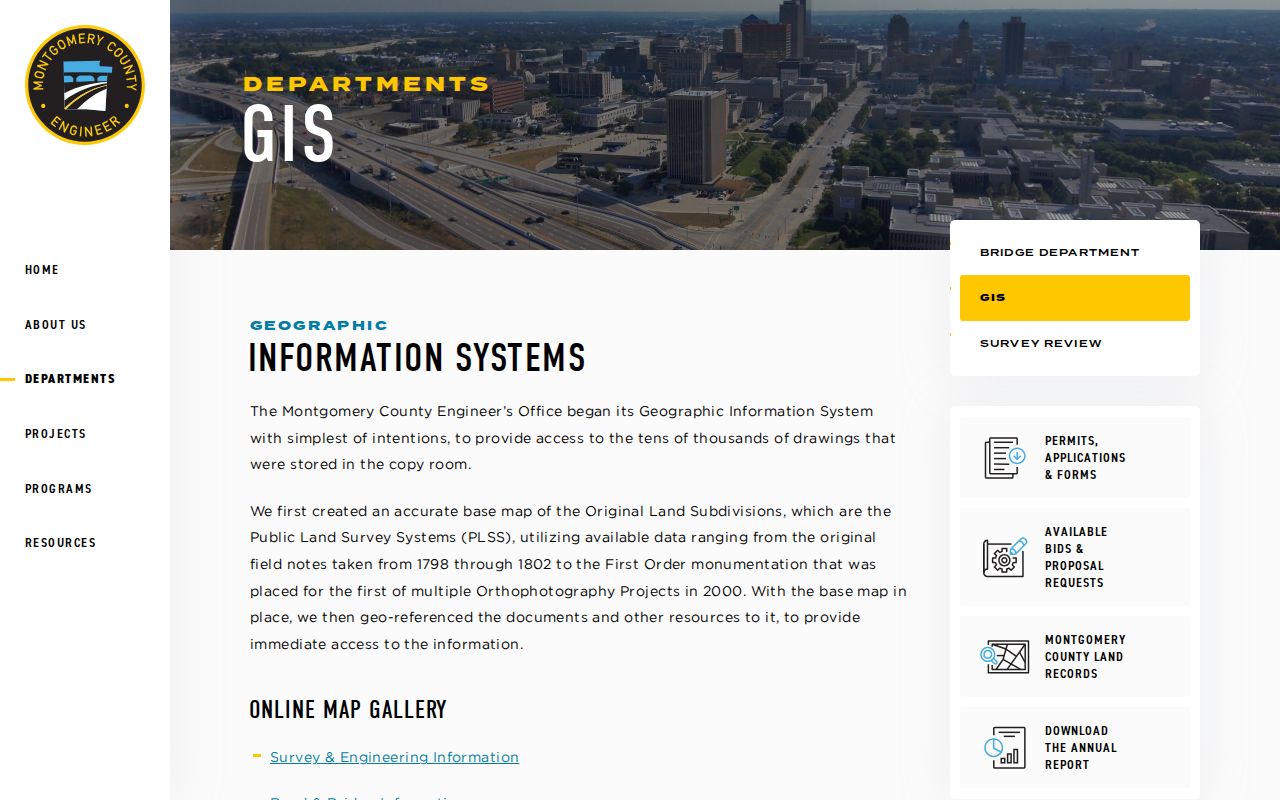
The County describes its base-map work through original PLSS field notes, orthophotography, survey records, contours, parcels, and PLSS layers. That Riverside map context must still be followed by Auditor confirmation for each parcel.
For a complete named-street record chain after the Riverside block is identified, use the Riverside Street Directory.
Riverside Voter Geography
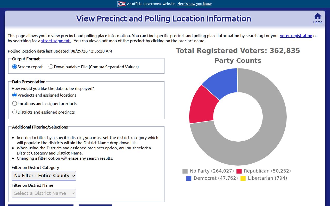
Riverside election geography can confirm the precinct, polling place, or district attached to a street segment. The Montgomery County Board of Elections precinct-and-poll tool has separate display modes for Precincts and assigned locations, Locations and assigned precincts, and Districts and assigned precincts. It supports a street-segment search and can return a screen report or CSV. That makes it useful for Riverside civic geography, not for identifying Riverside neighbors by a surrounding address list.
The Montgomery precinct and polling-location search is the source shown in this Riverside neighbors image.
The named Ohio voter lookup requires first name, last name, and county, with Montgomery selected for a Riverside registration. Its possible street selector narrows a named result. It is not a public Riverside block browse. Voting history indicates participation, never a ballot choice, and protected voter records must remain protected.
Note: Riverside precinct geography helps place an address in a civic district, not identify every elector nearby.
Riverside Permit Case Records
Riverside iWorQ adds a municipal project and code layer around a block. The public permit portal searches by Permit #, Permit Type, Parcel #, Parcel Address, or Permit Status, with date controls when applicable. Its result headers include Permit #, Date, Permit Type, Expiration Date, Status, and View. The separate Riverside code-case portal searches Case #, Parcel #, or Parcel Address and shows Case #, Date, Parcel Address, Status, Description, and View. Riverside permit or case metadata can date activity at a parcel. It cannot establish who lived there.
The Riverside forms and permits page is shown in this Riverside neighbors image.
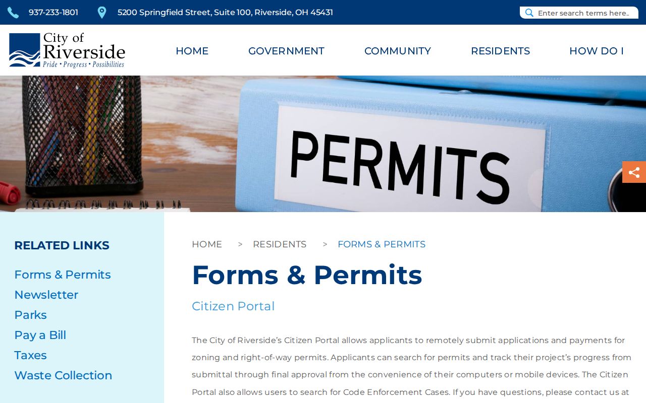
For Riverside documents beyond public metadata, detail or inspection information can require an access code. A focused Riverside public-record request should name the address, record type, approximate dates, and desired output rather than asking for broad personal information.
Riverside Community Inventory
No official Riverside neighborhood-association or HOA umbrella, member directory, active association list, or official neighborhood-boundary map was located. That Riverside research gap matters. It prevents a block search from being presented as if there were an official Riverside neighborhood roster. Community groups that the sources do identify should be described for their actual role, not converted into a directory of nearby homes.
| Riverside community lead | Supported use | Boundary |
|---|---|---|
| Official neighborhood/HOA inventory | No verified Riverside inventory was found | Do not infer named associations, members, or boundaries. |
| Riverside Historical Society | City-recognized historical and cultural preservation lead | It is not a neighborhood association or current member roster. |
| Dayton Room directories | Historic address and name research where a documented volume exists | Coverage and publisher limits apply. |
The Riverside Historical Society ordinance is the source shown in this Riverside neighbors image.
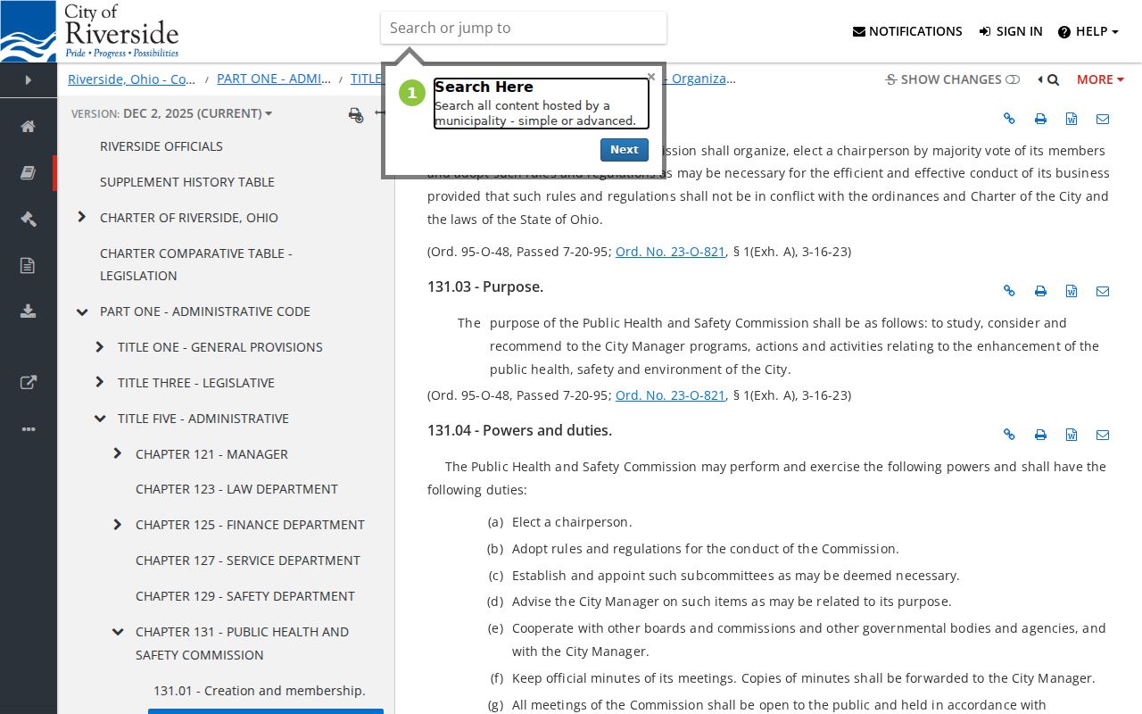
Riverside code recognizes the Society’s work preserving landmarks and local heritage. For Riverside family-history research, that is a context lead rather than a source of current block names.
Riverside East Gardendale Geography
East Gardendale is the documented Riverside neighborhood-history exception, not a current neighbor directory. A 2023 Planning Commission record describes East Gardendale as founded in 1922 along an interurban rail-line buffer between Smithville and Northcliff. That rail geography can survive in Riverside property lines. When an older Riverside address seems to break at a street change, compare plats, legal descriptions, tract references, and map evidence before concluding that the parcel changed.
Riverside was formed through the 1994 Mad River Township and Village of Riverside merger, then established as a city in 1995. Older Riverside records may be indexed as Mad River Township, Village of Riverside, or broader Dayton suburban geography. This makes an old Riverside block easier to trace through maps and parcel descriptions than through a modern neighborhood label alone.
Riverside Neighbor Tools Compared
Official Riverside records and commercial neighbor-lookup categories answer different questions. The official route names its custodian and shows the record type, field, or geography being used. Commercial compilations may combine sources with changing coverage and may not distinguish a recorded owner from a current occupant. Riverside neighbors should not be inferred from a compiled display when the underlying Riverside parcel, voter, permit, or directory record says something narrower.
| Riverside route | What can be checked | Important limit |
|---|---|---|
| Official GIS and county parcel records | Parcel location, Tax PIN, and recorded or tax owner context | They do not establish all occupants. |
| Official election geography | Precinct and polling-place information for an address segment | It is not a Riverside voter roster. |
| Riverside permit and code records | Project or case date, type, address, and status metadata | They do not establish a household. |
| Commercial compilation category | Potentially assembled public and consumer data | Coverage, currency, source labels, and identity matching can vary. |
Use the source that fits the Riverside question. A parcel question calls for a parcel source. A precinct question calls for the Board of Elections. A Riverside historic-name question may call for a dated directory volume at the Dayton Room.
For a historic block question, record the directory title, publisher, year, and address exactly as printed. Pair that entry with a deed, plat, or tax source before treating it as a house history. The Dayton Room’s regional directory and criss-cross holdings can supply a dated address-to-name lead where the relevant volume exists. A historical listing is time-specific and may use an earlier place name, so it should not be treated as a current contact record.
Riverside Neighbor Record Requests
When a Riverside online search stops, use the office that holds the record. Riverside city files such as retained permits, code materials, zoning items, or Council records can be requested through the City Clerk under Ohio’s public-records process. Building permits and certificates of occupancy route to Montgomery County Building Regulations because Riverside says it has no building department. Older Riverside deeds, plats, tract indexes, and tax material can require the Records Center and Archives or Recorder counter rather than a web search.
The Montgomery County public-records routing page is shown in this Riverside neighbors image.
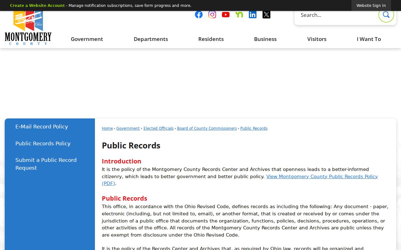
For Riverside requests, give the street address or parcel ID, the record category, and a narrow time range. County routing helps direct a Riverside request to the proper holder without turning a block question into a broad personal search.
The Records Center and Archives accepts specific research inquiries when the request supplies enough detail. Its historical routes include deeds, plats, tax material, estate records, and indexes with series-specific coverage. Bring a parcel ID, legal description, instrument number, book and page, or date range when one is known. That information lets staff distinguish a record request from a broad search for people and can reveal a counter or microfilm path after an online query ends.
Note: Riverside public-record access can involve the City, County, Recorder, archive, or elections office depending on the exact record.
Riverside Neighbor Privacy Limits
Riverside parcel maps cannot disclose every household member. Utility accounts, delivery records, DMV residence data, and protected voter addresses are not Riverside neighbor sources. Ohio Safe at Home participants may use confidential voter registration and a substitute address for government correspondence. A participant may also file a real-property confidentiality notice with the county recorder. A missing Riverside record can therefore reflect a lawful protection, not a reason to search around it.
Ohio voter protections exclude sensitive identifiers and certain protected addresses from ordinary public release. Recorded documents can also contain statutory redactions. Respect those Riverside limits, and do not republish sensitive personal data or treat a map’s adjacency as permission to contact anyone.
Lawful use. Use Riverside neighbor records for personal, lawful property, history, and civic questions. Do not use Riverside records to watch, harass, intimidate, or harm any person.