
Riverside ZIP Code Coverage
Riverside postal geography has a verified core, not a citywide ZIP boundary list. The Riverside evidence supports three ZIP codes for practical address work: 45431, 45424, and 45432. USPS assigns ZIP Codes for delivery, while Riverside city limits are an administrative boundary. The City’s Woodman Drive survey also shows travel and respondent geography, not a parcel-by-parcel municipal map. For that reason, Riverside records work should keep a ZIP result, a parcel location, and a city field separate until the responsible office confirms the address.
| Riverside ZIP code | Local official evidence | Postal use | Riverside limit |
|---|---|---|---|
| 45431 | Current City Hall address; 41% of 232 Woodman Drive survey respondents | Verified core Riverside postal geography | Not city-exclusive and not proof every Riverside parcel uses it. |
| 45424 | Former City Hall and Police municipal-address context; 13% of survey respondents | Verified core and historic Riverside reference | It also serves surrounding places. |
| 45432 | 12% of Woodman Drive survey respondents | Riverside-adjacent eastern travel and postal geography | Check each Riverside address with USPS. |
Other survey entries, including 45404, 45403, 45420, 45410, 45430, 45414, and 45433, describe response or travel geography only. They do not establish Riverside municipal coverage. No City, County, or USPS source reviewed declares an exhaustive list of every ZIP touching Riverside, so an address-by-address Riverside check remains the defensible method.
Note: A Riverside ZIP code is delivery information, not a resident list or a municipal membership decision.
Riverside 45431 Postal Core
Riverside City Hall is at 5200 Springfield Street, Suite 100, Riverside, OH 45431. That official address makes 45431 a clear Riverside postal reference. It does not turn 45431 into a Riverside-only ZIP code, and it does not mean a parcel with another Riverside-related record label is outside the city. The City’s Woodman Drive engagement results place 41 percent of 232 respondents in 45431, which supports its practical local importance while still describing survey participation rather than municipal boundaries.
The City of Riverside profile is the source shown in this Riverside ZIP code directory image.
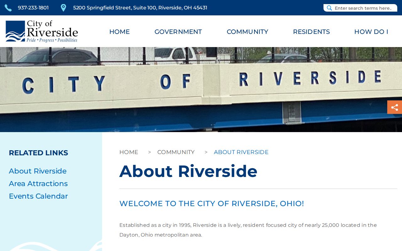
For Riverside address questions, the City profile anchors the current municipal reference. USPS still decides whether a particular delivery address returns 45431.
Riverside 45424 Record History
Older Riverside municipal material can legitimately carry 45424. The former municipal building at 1791 Harshman Road is a Riverside, OH 45424 reference, and the Woodman Drive survey recorded 13 percent of its respondents in 45424. That combination makes 45424 useful when reading older Riverside police, city, or address records. It does not show that the whole Riverside city area falls within 45424, nor does it settle a modern mailing result.
Riverside became a city in 1995 after the 1994 merger of Mad River Township and the Village of Riverside. A Riverside deed, directory entry, plat, or tax record may therefore use an older geographic label as well as a different postal reference. Search the record under its original place name and preserve the legal description when comparing it with a current Riverside address.
For a Riverside conflict between an old address and a current parcel, planning and zoning is the city-level starting point. Montgomery County identifies Nia Holt at City Hall as the Riverside contact for assigning street addresses. Provide the Riverside street address or parcel, then explain whether the problem is a city label, floodplain, zoning, plat, lot split, or ZIP mismatch. For an older Riverside deed or plat, move from the legal description to the Recorder or the County tract index. The tract index can follow a lot, block, or legal parcel when a Riverside street number or locality label has changed.
Riverside 45432 Postal Edge
The City’s Woodman Drive survey placed 12 percent of respondents in 45432. That makes 45432 relevant to Riverside’s eastern, adjacent postal and travel geography, but it is not evidence of citywide 45432 coverage. Riverside is near Wright-Patterson-related corridors and several local boundaries, so the same trip can pass through postal, municipal, county, and federal-adjacent geography. A Riverside parcel search needs the address first, not an assumption based on a nearby ZIP result.
The Montgomery County Riverside partner-agency page is shown in this Riverside ZIP code directory image.
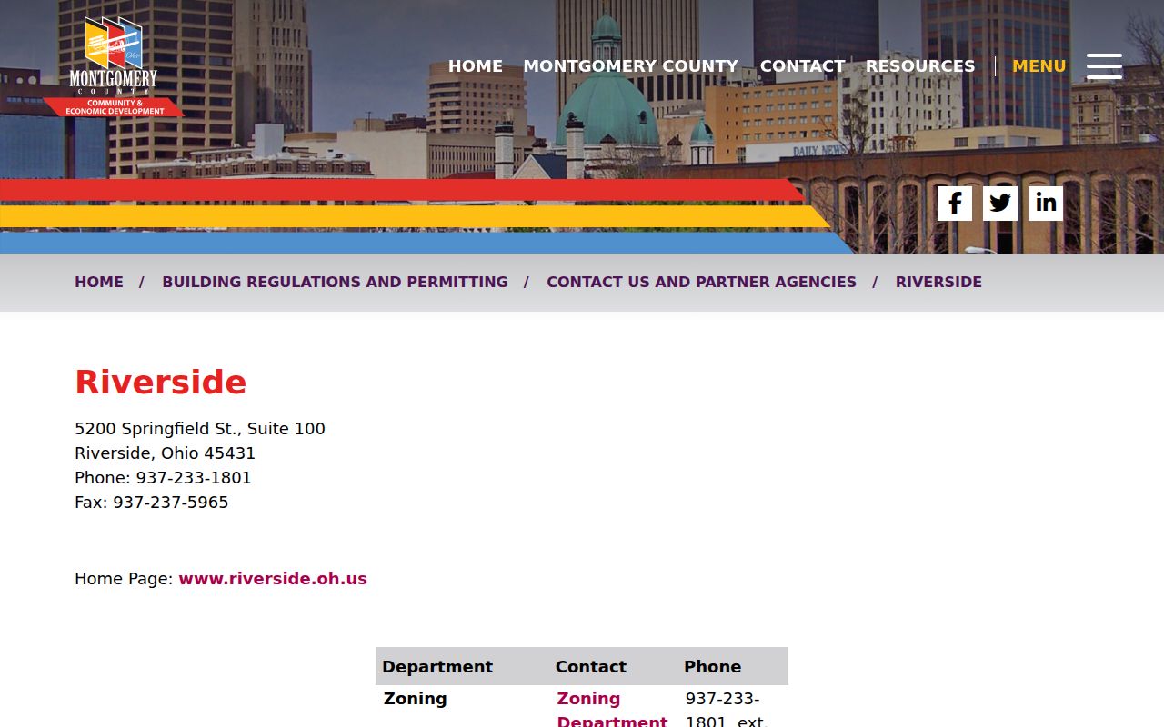
That Riverside contact route identifies planning and zoning help for an address, parcel, zoning, or city-limit conflict. It is the local fallback when a Riverside postal label and a county field do not line up.
Riverside USPS Address Check
Use the USPS ZIP Code Lookup before opening a Riverside property record. Its Address-by-ZIP form presents Company as optional, Street Address as required, Apt/Suite as optional, plus City, State, and ZIP inputs. The alternate city-and-state search has its own city and state fields. Enter the physical Riverside delivery address carefully. A returned ZIP code verifies delivery routing for that address, not the identity of a person or organization there.
| USPS field | Riverside use | Form status |
|---|---|---|
| Company | Only when relevant to the delivery address | Optional |
| Street Address | Enter the exact Riverside delivery location | Required |
| Apt/Suite | Add a unit when the delivery address requires it | Optional |
| City, State, ZIP | Use the City/State/ZIP information supplied for the Riverside address | Presented on the Address-by-ZIP form |
A Riverside result should be saved with the exact spelling used in the next search. If USPS, a deed, and a tax record use slightly different locality text, the parcel ID and legal description are better comparison points than the ZIP alone.
Riverside ZIP Portal Limits
No inspected Riverside-serving County property portal offers a verified ZIP-wide resident filter. MC Real Estate offers Address, Owner, Parcel, and Advanced modes. The Treasurer search uses tax year plus parcel, owner, or address information. The County GIS parcel layer includes a five-character ZIP attribute, but that technical field is not a public Riverside owner report. Riverside voter lookup is also a named-elector confirmation tool, not a ZIP browse.
Use this Riverside order instead:
- Confirm the Riverside delivery address with USPS.
- Search the Riverside address in MC Real Estate or the Treasurer system.
- Save the returned parcel ID, called a Tax PIN in the GIS layer.
- Review the parcel one at a time, keeping owner, situs, mailing, and legal-description fields distinct.
- Use Recorder records only when the Riverside question is about a recorded title or document trail.
The Montgomery County GIS resources page appears in this Riverside ZIP code directory image.
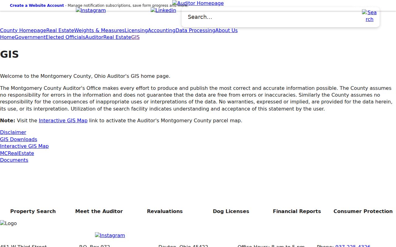
County GIS can place a Riverside parcel in map context and expose its ZIP attribute. It does not replace individual Auditor or Recorder confirmation.
MC Real Estate is the Riverside property route after that map step. Its inspected address search presents Street Number and Street Name, while the Owner mode presents Owner Name and the Parcel mode presents Parcel ID. The tax-year menu displayed 1980 through 2027 and an Any option. The Treasurer system adds a year-specific Riverside search and instructs the user to enter a street number plus street name without a direction or suffix. Its parcel example, A01 00107 0001, also shows the county convention that every parcel number begins with a capital letter. These are address and parcel fields, not ZIP filters.
Riverside Woodman ZIP Geography
Woodman Drive makes Riverside’s layered geography easy to see. The City’s public-engagement corridor runs from US 35 north to the city limit north of Springfield Street. It includes a Wright-Patterson-related Airway-to-Springfield segment, Airway-to-Bayside commercial area, Creekside Trail residential context, and a southern divided-median section. Riverside postal, road, parcel, and city labels can therefore change across one corridor without creating a new municipal boundary.
The City’s Woodman Drive engagement material is shown in this Riverside ZIP code directory image.
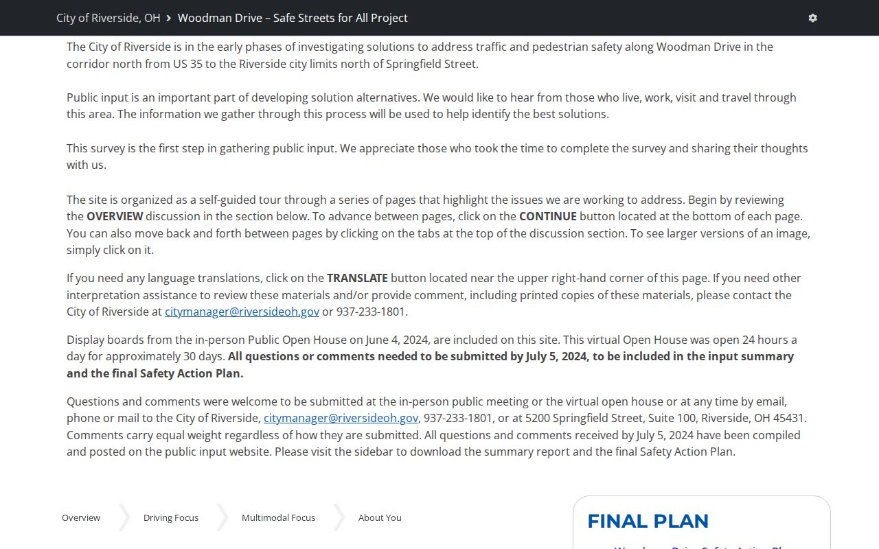
The survey’s 232 responses reveal local movement across several ZIPs. They do not redraw Riverside limits or override the USPS result for a particular Riverside address.
Note: Woodman Drive is useful Riverside context, but USPS remains the address-level postal authority.
Riverside ZIP Boundary Terms
Riverside address research works better when the labels are defined before they are compared. The Riverside Auditor, GIS, and permit records use parcel concepts. USPS uses delivery concepts. Recorder documents use legal land descriptions. One Riverside property may display more than one of these labels without any conflict.
- ZIP code
- A USPS delivery-routing code. In Riverside, it does not establish a city boundary or a complete list of occupants.
- ZIP+4
- An added delivery segment used with a ZIP code. It is more specific mail-routing information, not a parcel identifier.
- Carrier route
- A postal delivery grouping. It is not a municipal or property-record boundary.
- Situs address
- The physical Riverside parcel location used by property, GIS, permit, and code records.
- Legal description
- The lot, block, subdivision, section-township-range, or tract identity that can remain useful when Riverside address labels change.
Riverside address rule. Treat a USPS ZIP, an Auditor situs, a tax mailing address, and a Recorder legal description as different fields until the Riverside record holder confirms their relationship.
Riverside ZIP Code Records
After USPS confirms a Riverside address, the next record depends on the question. The Auditor can provide the current parcel context, the Treasurer can add a selected tax year, GIS can show parcel geography, and the Recorder can document a title chain. For an older Riverside address, use the legal description with the County tract index rather than relying on a ZIP that may not appear in historic records. The Records Center and Archives keeps historical deed and tract material when a Riverside web search reaches its limit.
A legal description may identify a lot, block, subdivision, section-township-range, or tract and abstract. It is the land identity used to bridge address changes. The County historical collection guide lists tract and legal-description abstracts from 1805 through 1986, along with deed and plat material. Bring a parcel ID, instrument number, book and page, or legal-description reference to the archive or Recorder counter. That gives staff a defined record trail to inspect when a web result does not answer the question.
The archive materials use several dated series, so state the series when asking for help. The general archive page summarizes deeds from 1805 through 1933. The detailed collection guide lists deeds recorded from 1805 through 1971, while the Recorder describes deed records from 1805 to the present. These statements describe different access paths and should not be merged into one cutoff. A focused request gives the legal description, a book or instrument reference if known, and the desired document type. Clear references reduce duplicate searches at the counter. Archive staff can then direct the researcher to the right book, microfilm, index, or counter route.
When a Riverside ZIP narrows the work to a street, use the Riverside Street Directory for the address-by-address record chain. The ZIP code directory remains a way to verify postal geography before that narrower Riverside research begins.